1 product in collection
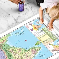
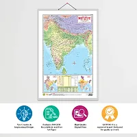
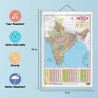
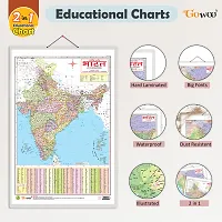
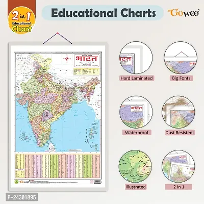
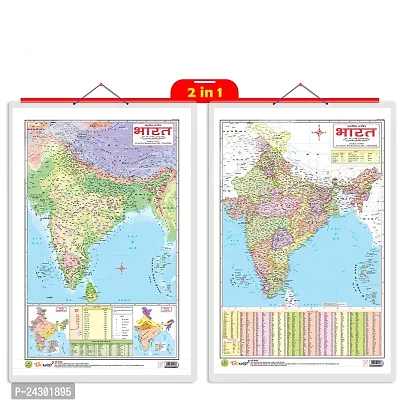
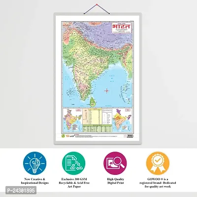
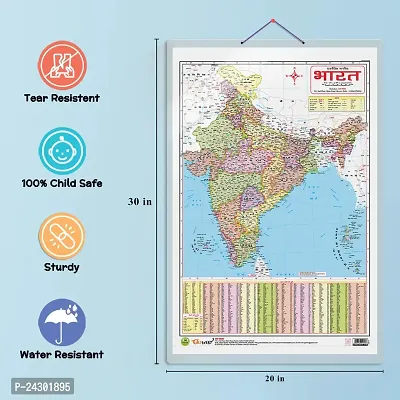
2 IN 1 INDIA POLITICAL AND PHYSICAL MAP IN HINDI Educational Charts | 20X30 inch |Non-Tearable and Waterproof | Double Sided Laminated |Useful For Preparation Of SSC, UPSC, RRB, IES.
₹178
₹180
1% OFF
1
(1 Ratings, 1 Reviews)
Product Details
We are introducing our 2-in-1 Indian Political and Physical Map chart in Hindi. This chart is available in 20x30 inches and provides a comprehensive overview of India's political and physical features. The chart consists of two sections: the political and physical maps. The political map displays the boundaries of states, union territories, and major cities of India. It clearly represents India's political divisions and helps users understand the countryrsquo;s administrative structure. The physical map showcases the geographic features of India, including mountain ranges, rivers, lakes, and coastal regions. It visually depicts India's diverse physical landscape and highlights the country's natural wonders. This 2-in-1 chart is a valuable resource for students, teachers, researchers, and anyone interested in exploring Indiarsquo;s political and physical aspects. It is printed on high-quality material to ensure durability and clarity of information.
Ratings and Reviews
1
1 ratings and 1 reviews
Excellent
0
Good
0
Average
0
Poor
0
Very Poor
1
Rajenderameena
Posted 24 days ago
Sold by
GOWOO
1
(1 Ratings)


People Also Viewed
Shop on GlowRoad
Trusted by 1Cr+ resellers all across India.No investment, No delivery hassle.For best experience on GlowRoad, Get the App
Useful Links
Keep in Touch


Registered Office Address
SOCIOFY ENTERPRISE PRIVATE LIMITED,8th Floor, Brigade Gateway, 26/1Dr. Raj Kumar Road Bangalore, Karnataka - 560055